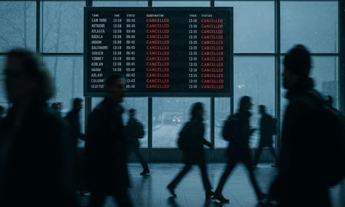
MINNEAPOLIS – A rapidly intensifying “Alberta Clipper” system is barreling across the Upper Midwest today, colliding with record-breaking Thanksgiving travel volumes to create a potential logistical nightmare for millions of Americans.
As 81.8 million travelers attempt to reach their holiday destinations-the highest volume on record-the National Weather Service (NWS) has issued winter storm warnings stretching from the Dakotas to the Great Lakes. The system is forecast to dump heavy snow on key transit corridors before triggering a massive “lake-effect” snow event in New York and Pennsylvania on Thanksgiving Day.
BY THE NUMBERS
- The Threat: 6 to 12 inches of snow forecast for parts of MN, WI, and MI.
- The Wind: Gusts up to 50 mph in western Minnesota and the Dakotas (Whiteout risk).
- The Volume: 52,000 flights scheduled for Tuesday alone (FAA Peak Day).
- The Hotspots: Major delays expected at MSP (Minneapolis), ORD (Chicago), and DTW (Detroit).
THE DEEP DIVE
This is not a standard winter flurry; it is a timing disaster. The storm is a fast-moving “Clipper” system-known for speed and sharp temperature drops.
- Phase 1 (Tuesday/Wednesday): The system hits the Midwest. Minneapolis and Green Bay are in the crosshairs today. As it moves east, rain and fog will blanket the Ohio Valley and I-95 corridor, slowing ground traffic to a crawl.
- Phase 2 (Thanksgiving Day): As the cold front exits, it will activate the “Lake Effect Machine.” Cold air rushing over the relatively warm Great Lakes will generate intense snow bands. Buffalo, NY and Erie, PA are on alert for rapid accumulation that could paralyze I-90 just as families gather for dinner.
This weather shock comes at a fragile moment for US aviation. Following recent staffing tensions and the “shutdown” scare mentioned by Transportation Secretary Sean Duffy, the air traffic control system is already operating with zero margin for error. A weather disruption at a major hub like Chicago O’Hare could ripple through the entire national network within hours.
THE MARKET IMPACT
- Airlines (DAL, UAL): Watch for a dip in operational efficiency metrics. While cancellations are weather-driven, investors monitor how quickly carriers recover. A meltdown similar to Southwest’s 2022 debacle is the worst-case scenario shareholders fear.
- Retail Foot Traffic: The “Lake Effect” snow in populous regions like Western New York and Michigan could dampen physical retail turnout for Black Friday sales, pushing even more spend toward e-commerce (AMZN, SHOP).
- Insurance: Auto insurers (PGR, ALL) typically see a spike in claims frequency during early-season storms as drivers have not yet adjusted to icy conditions.
WHAT’S NEXT
Travelers in the Midwest should leave immediately or wait until Thursday morning. For the Northeast, the drive home on Sunday looks problematic as a second system potentially forms off the coast. The “Clipper” is fast, but its timing couldn’t be worse.
Disclaimer: This report is for informational purposes only. Weather conditions change rapidly; always consult the National Weather Service for life-saving alerts.

Harrison Sterling is the Editor-at-Large at Apex Pursuits. A former commodities analyst, he covers Global Markets, US Policy, and the “Business of Leisure.” He splits his time between NYC and Jackson Hole.


